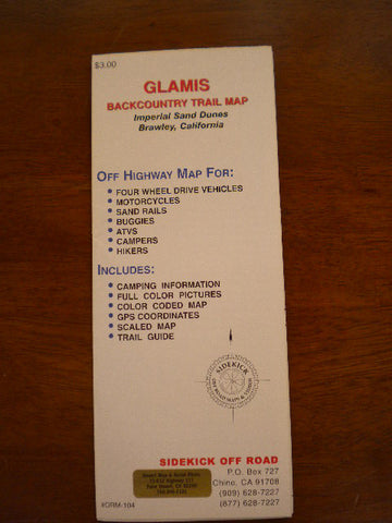
Glamis Backcountry Trail Map
This map covers the Imperial Sand Dunes: Mammoth Wash on the north, outlines the Algodones Wilderness Area north of Hwy. 78, Roadrunner Campground, Glamis store, Boardmanville Trading Post, the new "Adaptive Management Area" in the central dunes, Dune Buggy Flats, and Buttercup Valley. Included are the locations of seven major sand hills (Competition, Oldsmobile, Brawley Slide,Lizard Hill, China Wall, The Wall, and The Ceiling), canal crossings, RR track crossings, boundaries, campgrounds, stores and highways. GPS coordinates. The Imperial Sand Dunes (Glamis) are the largest sand dunes open to Off Road use in the Unites States. The dunes begin 21 miles east of Brawley and stretch all the way into Mexico, over 40 miles away. The dunes vary in width from about a quarter mile at the north end of the Mammoth Wash area, to about 5 miles in width below Highway 78. There are over 150,000 acres designated as open or having limited use. About 27,000 acres are closed (mostly north of Hwy. 78). Although off road enthusiasts and campers visit the area year-round, during the summer months you need to be prepared for temperatures consistently exceeding 100º and reaching 120º on occasion. However, like most of the California desert, the humidity is low and the nights cool down considerably. Since the annual rain fall is less than 2”, the only winter hazard is blowing sand. Winter temperatures are in the 60-70º range (popular season). Checking the weather forecast for El Centro CA, or Yuma AZ will give you a good idea about the weather conditions at the dunes. Sidekick Off Road, Published 2004, Scale Various, Format Paper, Topo Relief, Flat Dimensions (inches) 17 x 14