Wildflowers
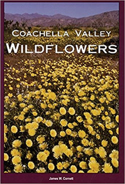
Coachella Valley/So California
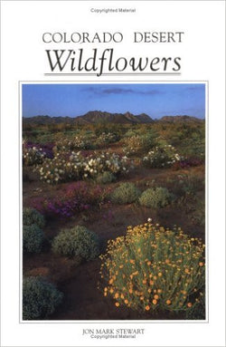
California Travel
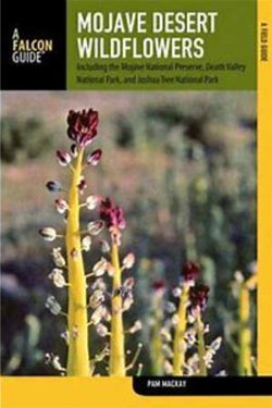
Mojave and Death Valley


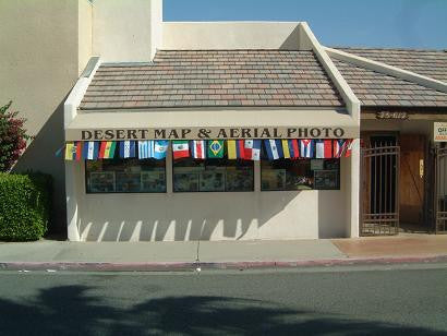
Welcome To Desert Map and Aerial Photo
Specializing in hiking and recreation maps, international travel maps, road touring, and off road maps and guides for auto and motorcycle. We have a great selection of Natural History, California history, mammals, birds, reptiles, plant life of the Coachella Valley and surrounding areas and so much more! We are adding items daily so if you can't find what you are looking for online, give us a call and we'll help you find it!