Italy Adventure Travel Map 3304
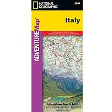
National Geographic's Italy Adventure Map is designed to meet the unique needs of adventure travelers—detailed, durable, and accurate. Italy includes the locations of thousands of major cities and towns with an index for easily locating them, plus a clearly marked road network complete with distances and designations for expressways, motorways, and more. The front side of the Italy map shows the northern half of the country from its borders with France, Switzerland, Austria, and Slovenia to its capital, Rome, and includes the provinces of Aosta Valley, Piedmont, Lombardy, Trentino-Alto Adige, Friuli-Venezia Giulia, Veneto, Emilia-Romagna, Liguria, Tuscany, Marche, Umbria, Lazio, Abruzzo, and Molise. The southern half of the country including the Mediterranean islands of Sicily and Sardinia, and the provinces of Campania, Apulia, Basilicata, and Calabria are covered on the reverse side of the map. 4 1/4" x 9 1/4" folded; 26" x 38" unfolded Scale = 1:100,000 © 2019